 Over Thanksgiving, I planned to map out a bayou in north Louisiana, and use it as a teaching moment for high school students involved in the Drones for Schools program back in central Illinois.
Due to issues with configuration and calibration, the mission didn't go according to plan, and I didn't end up with a Digital Elevation Model (DEM) of that interesting place. However, I did end up with images showing evidence of hooliganism at the south end of the property.
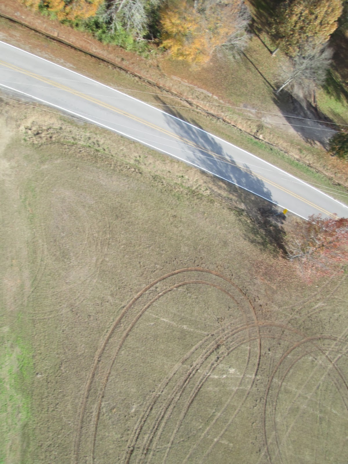
Those looping tracks in the dirt? Not created by the owners of the property. Some tracks had been there quite a while, but others were very "fresh."
So I wound up with a different, but still quite important, lesson. From my blog post on the mission:
Even botched missions can produce interesting data. Couldn't get the mapping data you were hoping for? Sometimes it's not all about 3D models and measurements. The ground changes all the time, and commercial satellite photos are low-resolution and few and far between. At the very least, the operator will gain valuable experience with the unmanned aircraft.
The post has a breakdown of the mission, including planning, stall speed calculations and visualizations generated from log files.
Comments
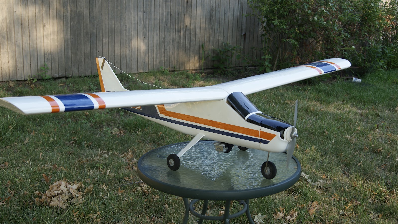
Hey Matthew, I know this is an old blog but what type of plane is that in your photo? Looks very nice!
Tell owners that they need buy drone! Show the pictures and explain how it work =)
Well uncovered Matthew, many years ago a fellow in Florida I think it was spotted a chap spray painting a wall and let the police have the images, they found the youth and gave him what for!