Patrick Egan
There are bushels of folks out there now spending money and putting time in finding niches for unmanned systems that already exist. You may be saying, isn’t that what we should be doing? Possibly, but first we have to understand that the idea of carrying sensors on aircraft is not revolutionary, it has been going on for years. Drones too, but we are supposed to act like it doesn’t happen because FAA policy says so.
At the lower end of the data collection spectrum of course is photography. Pretty pictures may be enough to satisfy some. However, others may need just a little more data to make all of the regulatory hassle and cash outlay worthwhile. Let’s use the pick-up truck analogy that has been bandied about. Sure you can haul your roller-skates, but does the added expense and cost to operate justify the outlay?
Read the full article at sUAS News
http://www.suasnews.com/2013/10/25790/down-on-the-farm-with-drones/
Comments
For what it's worth I've been doing some tests comparing blue and red filters and find red filters superior for detecting differences in plant vigor. Hers's a note I posted earlier today: http://publiclab.org/notes/nedhorning/10-30-2013/red-vs-blue-filter...
I think it has a lot different optical path and probably something like a rolling shutter or something that leads to blurry pictures. I can't make out ground features in the picture which is important.. obviously once you stitch its different.
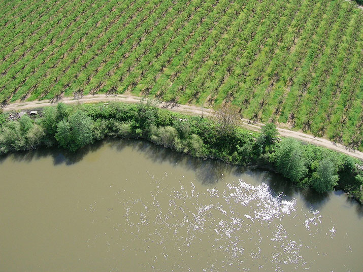
They all turn out like this.. this is a picture of a row crop:
I would love to be proven wrong but that is just my experience with it.. and I get data from quite a few sources... but if you are operating an expensive camera like that you typically know how to operate it to get the most out of it.. so this might be the most out of it. Anyone have better examples to share?
Examples of what you get with the MaxMax modified ones can be found on my site here. These are all single shots from the S100 or the 6D (courtesy of KSU UAV research group).
(The last image is a NAIP so that doesn't count)
Gary it is part of the amazing research work that KSU is doing with sUAS and so I can't take credit and more trials over more dates are required in order to publish... but very promising results and when it takes 20-30 minutes to capture 600 acres of measurements it clearly saves considerable labor.
Guy I would never recommend a Tetracam to anyone to be honest. They are very expensive, very low resolution (3.2MP) and the physical sensor size for photon detection is smaller than any point and shoot cameras on the market... all of the Tetracam imagery I have gotten has been blurry as well which I don't believe is user error as I have gotten data from a number of end users.
We have had a lot of success with MaxMax modified cameras.. which are modified Canon point and shoot cameras with specialized glass made for those models. I have seen others modify existing equipment but the MaxMax cameras have been consistently decent especially for this work. The ones we use are the NIR/G/B.. the yield estimates used a blue NDVI but I believe the green NDVI was as correlated.. so the lack of a red channel really does't seem to factor to much into being able to do this work effectively.
LanMark hit the nail on the head with manned example. I think the real dampener on the technology is an asinine regulatory model. If you have a common sense regulatory framework with insurance and financing, the niches will present themselves. No shortage of potential applications.
That 10% improvement over GreenSeeker is interesting care to create a post LanMark ;-)
I think a example could be beneficial. Right now it is pretty common practice for precision agriculture producers to use GreenSeekers to take samplings over their field either using the handheld unit or the canopy sensors mounted to farm equipment. It is very time consuming to capture readings over your entire field so you often take spot samplings in certain areas. With a fixed wing you can collect samplings every 1 inch as if you had taking 1 inch samplings over the entire field... and do this all in a 20-30 minute flight for 600+ acres.
With AgPixel we are getting around 10% better correlation than the GreenSeeker.
Similar applications for capturing a current state of your crop the day before you go n-rate it.
I don't believe that UAVs are the answer to producers needs but I think they are a valuable tool in the toolbox. I personally think that people also need to understand that uav's are not the only answer.. some people have asked me about how to do large coverage areas and I respond with a piloted aircraft.. which can get 50-70k acres in two hours.
Producers are not the consumer of UAV collected data anyway.. its the crop consultants or agronomists, really.
Thanks for sharing the article Gary it's a good read so far! I absolutely love your sUAS News Site!