We are starting to release certain projects back to the open source community. You can find these new projects on our GitHub page here. We will continue to develop and contribute to these projects as time permits!
ArUco geobits: We've developed an aerial ground control point target system similar to a QR code. Our GCP targets are digitally encoded fiducial markers with computer vision software functionality to enhance workflows and provide the highest accuracy possible for photogrammetry missions.

ArUco geobits @ github
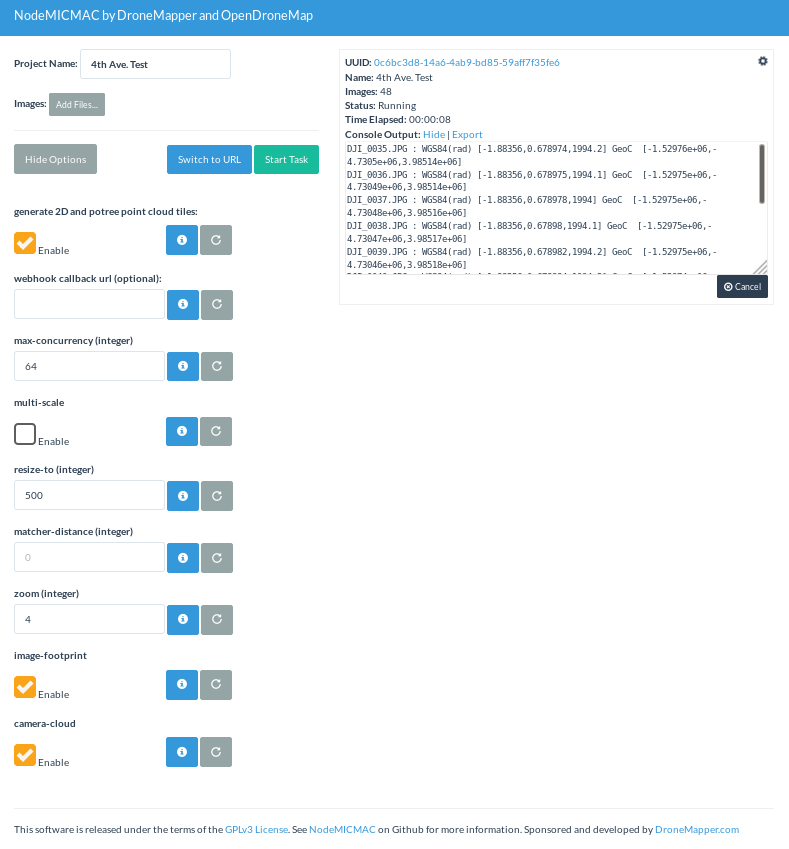
NodeMICMAC: NodeMICMAC is a Node.js App and REST API to access MicMac. It exposes an API which is used by WebODM or other projects. This project is sponsored and developed by DroneMapper. This repository was originally forked from NodeODM, which is part of the OpenDroneMap Project.
NodeMICMAC @ github
Make a pull request for small contributions. For big contributions, please open a discussion or issue first. Feel free to contact us with questions!
Thanks, DroneMapper Team
Comments
That is a lofty goal! ^^^^
I want a range of 500 km