You need to be a member of diydrones to add comments!

Join diydrones

Comments

  • interesting stuff, kite mapping looks like a fun thing to try, in Taranaki we have wind most days (its blowing at 40 km/hr now), what altitude are the one photoing the dissater flying at ? I think it would be an idea to use the kite to act as a network point in a zigby or similar network to extend the telemetry range of the UAV's
  • Moderator
    Ah my fault for not stating more obviously that they have put a call out for funds, I am busy emailing as many US news outlets as I can hoping to get the story picked up. They only need $5000 and I reckon there will be somebody out there that can just sign off the ticket!! I love the simplicity of how they achieve their results.There are already researchers using one of our wings over there on coastline studies (not in theatre) and two doing the same over here in the UK. Pity they can't be easily used in the USA.
  • Sorry Gary. I had visions of UAV's going out on autonomous photo mapping missions. I wonder if there are any Aerosonds flying down there, with FAA approval of course. They could carry sensors to monitor air quality near the surface. I heard they had to call in the fishing boats contacted to skim oil because the a couple of crews got really sick and were hospitalized. They had no respirators or gas sensors on board. Maybe BP could supply this equipment to the fishermen trying to save their jobs.
  • Moderator
    And the restrictions on kite flying? I note there is stacks of room outside of the TFR on the beach.

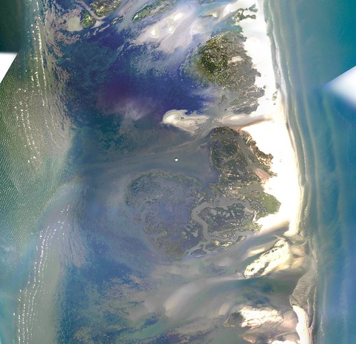
    map_0_2956.gif

  • Link to TFR here
  • Moderator
    Well its already happening Greg, just flying kites on the beach.....
  • You need a special clearance from the Deepwater Horizon incident command center. I would bee very carefull down there.
This reply was deleted.