
All Posts (14056)
Sort by
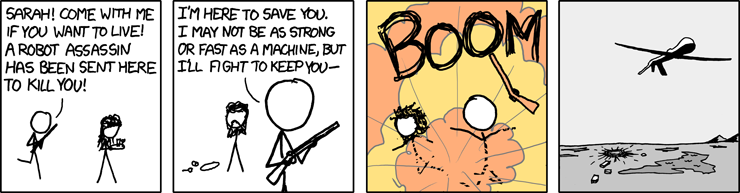 "We live in a world where there are actual fleets of robot assassins patrolling the skies. At some point there, we left the present and entered the future." -xkcd
EasyUAV landing pattern from Krzysztof Bosak on Vimeo.