All Posts (11086)

Sort by
3D Robotics

3689691055?profile=originalThis is a really important problem to solve; hope someone does! From Popular Mechanics:

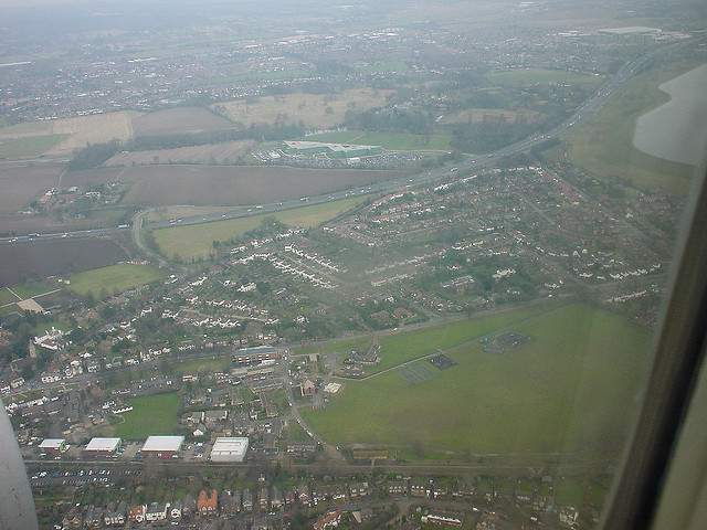
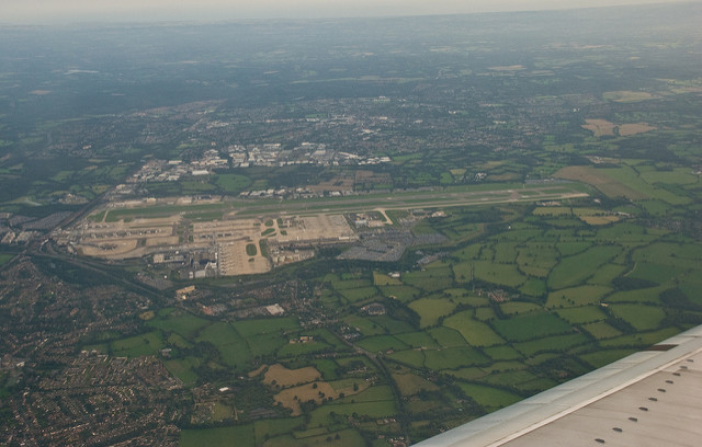
An engineering firm wants to make sense of the abundance of aerial photos we now shoot from planes, satellites, and drones. Draper, out of Massachusetts, has put a $40,000 bounty on an algorithm that can accurately sort and sequence images taken from miles in the sky, with implications, perhaps, to track wildlife, observe erosion, direct traffic, or notice climate change in real time.

The contest, which runs until June 27, requires the algorithms to take a series of images taken of California and correctly sequence them in the order they occured. The hope is that subtle changes can then be noticed (simple enough) and also understood (much trickier).

It might be years before we could understand all the data that correctly sequenced images can convey, but global security operations have been doing similar things for the past 80 years. As the world swims in ever more photos, we could stand to gain a lot by being able to automatically interpret them. The right algorithm could have wide-ranging effects for scientists, corporations, governments, and hobbyists alike.

Read more…

We have been using a Canon S100 running CHDK and KAP script for mapping and modelling using Pix4d for a while, and thought it might be useful to share the results of some testing of the possibility of GCP free mapping using the Canon and Emlid Reach system. The method outlined should be applicable to any Canon camera that can run CHDK.

The main issue with making use of the accuracy of precision GNSS systems for geotagging is the timestamp on the image. Flying at a fairly conservative 5 m/s getting the tags to within 5 cm of the actual position requires a precision of the timestamp of 10 milliseconds.

Experiments with the Reach and RTKPost have shown that positioning precision of the order of a few cm are fairly easily achieved. Fortunately, although the S100 exif time data is not much use, the KAP script creates a log file, which contains, among other information, a shutter release time to millisecond precision. The script creator I think claims 10ms precision for the information, but the actual precision seems better.

The Canon S100 clock can be synced using the built in GPS so in theory could provide a pretty much perfect clock sync. In practice it appears to sync to the latest second, so the offset between the camera clock and GPST has always so far been somewhat less than the 17 seconds you would expect.

The other issue is providing the geotag information to Pix4d. Our usual method for this would be to use the built in geotagging utility in Mission Planner, which experiments have shown to be slightly more accurate than tagging using the option in Pix4d to import the 3dr flight log.

In order to make use of the RTKPost output and the KAP log a simple spreadsheet was created to use the KAP timestamp information and the .pos file from RTKPost to interpolate precise positions for the image geotags, which is then output to a csv file which Pix4d can use.

The following is a proof of concept rather than fully developed workflow, but with a few of the rough edges knocked off could provide an extremely cheap option for those wanting to experiment with the effect of extremely precise geotags on mapping outputs.

The files can be found here for the moment:

https://www.dropbox.com/sh/x7h52i39b61bzmk/AAAQKCTwgCsn9roixM9ol308a?dl=0

Pix4d quality report here:

https://www.dropbox.com/s/dtbp31sjrzamf21/reach_demo_report.pdf?dl=0

The survey site is a local RC flying area. The flight was carried out at 70m agl and 5m/s, for approx. 16 minutes in the air. 355 images of the target area were collected, shutter triggered by 2 second intervalometer. The Reach flown on board was in single mode, set to GPS 10Hz, and was providing nav information to the Pixhawk, with a generic Ublox M8N based device as backup.

After the flight the images, KAP log file and Reach RINEX data were downloaded for processing.

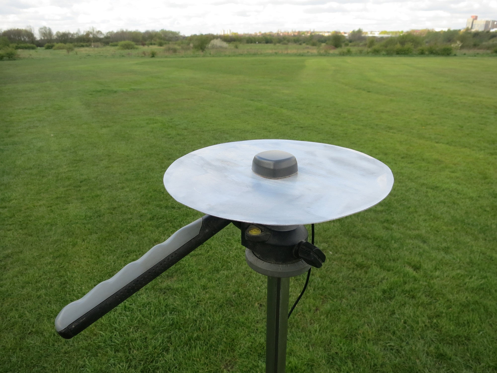
Additionally, various intersections of white lines marking out the field and various football pitches were surveyed using a second Reach. This was carried out over 2 visits, the first with a 5 minute observation on each point (antenna on ground plane at ground level), the second with a 10 minute window on a tripod 1.52m off the ground.

In the UK historic RINEX data is provided free by the OSNet stations, there is one just over 10km away from the site at Teddington. Using the RINEX log from the Reach unit on the rover and the RINEX data from Teddington RTKPost can derive a fairly good solution with solid fixes for much of the flight. This can be further improved using precise clock and orbit data provided by the IGS products.

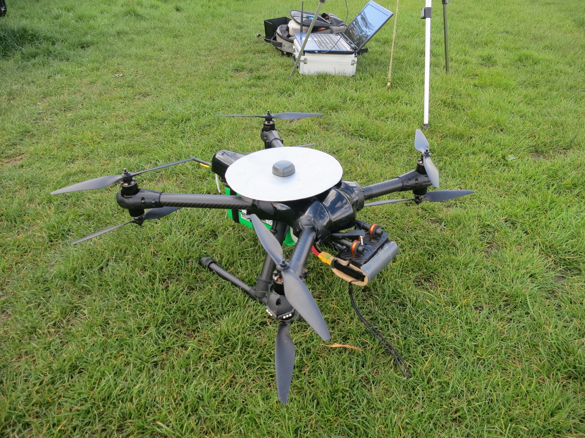
Figure 1: X8 dev rig
with 200mm ground plane. The primary GPS is located under the canopy to the
rear of the machine. The ground plane ahead and above the primary receiver
caused issues so the Reach was enabled as secondary GPS with autoswitch on, and
was used as primary nav throughout the flight.

Figure 2: Reach base
station antenna and ground plane, mounted on 1.52m tripod. Ground planes cut
from 1mm aluminium sheet.

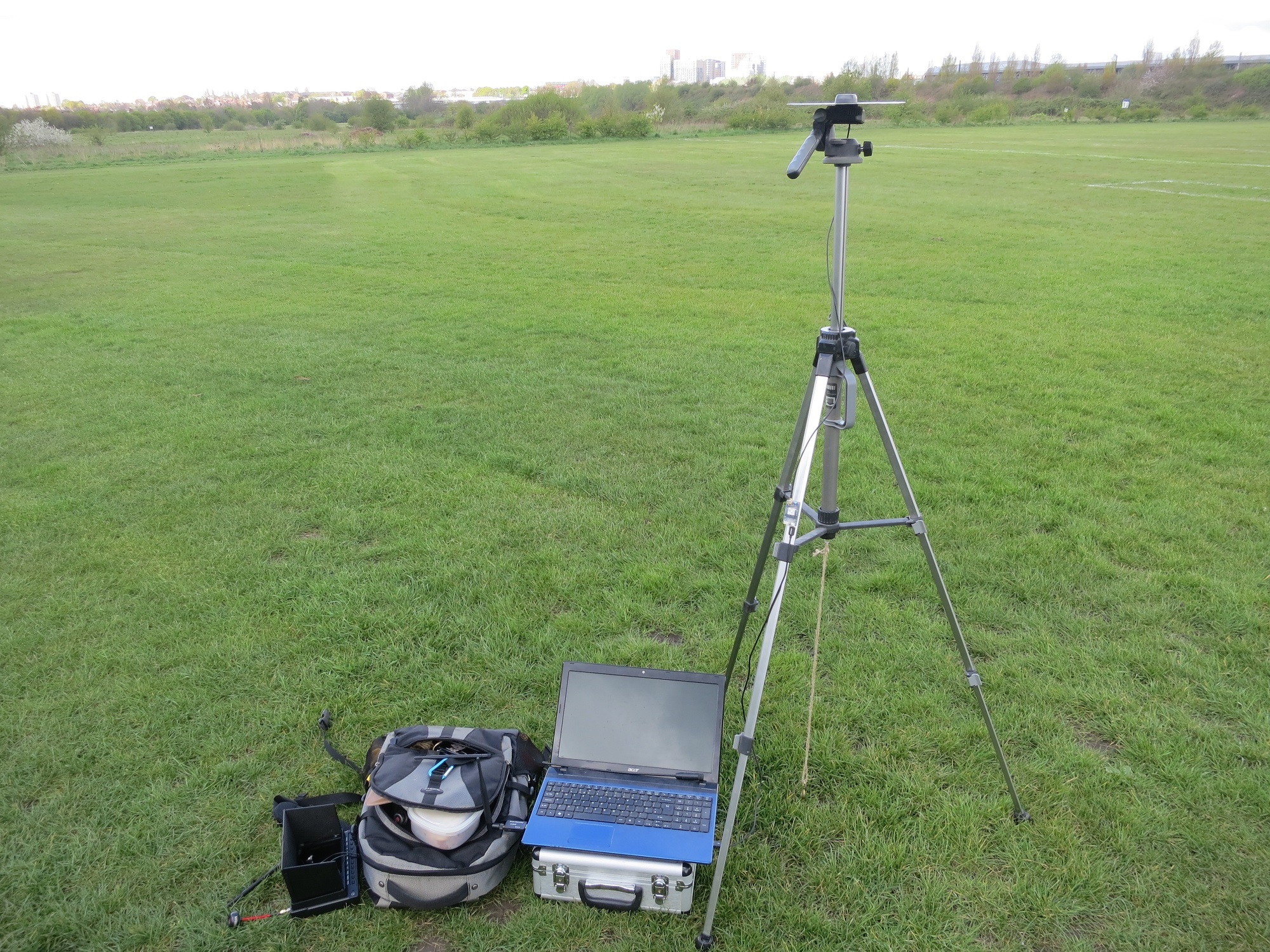
Figure 3: Improvised
mapping ground control station :)

To process the data the KAP log and .pos file need to be imported into Excel:

open the files in Excel

Select 'delimited'

Click next

Check 'space'

Click next

Select the time stamp column (B) and select 'Text'

Click finish

Copy the position info from the .pos file to the positions tab on the geolocation spreadsheet

Then sort the KAP file by column D and copy all the date, time, shot number and filename data into the appropriate fields in the images and interpolation tab. Here you can also offset to account for the difference in time between GPST and UTC, and by height to account for the offset between GPS antenna and the camera sensor (-0.14m in this case).

Copy the information in the output tab to a new sheet, then export as a .prn file. Rename the file to csv and Pix4d will accept it as a geolocation file for the images.

To arrive at the exact time offset you need to run the initial processing in Pix4d. Use the difference between the initial and
calculated positions for the image to estimate the sub-second time offset, rerun and tweak, until no better accuracy can be reached. It is fairly easy to see when there is a consistent offset in the direction of flight. Increasing
the confidence in the geolocation data by lowering the horizontal and vertical accuracy values in the image properties can then help further improve the accuracy. Aiming for gaussian distribution of the errors given in the Absolute Geolocation Variance section of the Pix4d quality report helps zero in on the final offset. Other software may provide tools to extract this information more efficiently(!). It took 6 runs to derive the offset of 16.5925 seconds in this case, though the last two made very little difference to the end result.

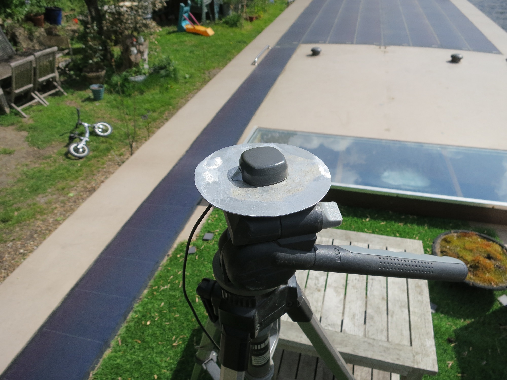
Figure 4: We also
experimented with a 100mm ground plane, as recommended by Tallysman, both in
the air and on the ground, however the 200mm version seemed to give
consistently better results.

With the above steps carried out it is possible to get pretty accurate geotags – the limiting factor probably the resolution of the time stamps from the S100. In this case the majority of images were tagged to within 3cm of their calculated position. Slower flying might permit more accurate tags.

Canon S100 and Emlid Reach thus make a very low cost system allowing accurate mapping, potentially without the need for GCPs – in this case I would say the error of the GCPS is likely to be not much lower than that of the geotags for the images. With a bit more time and some further experimentation with antennae, RTKPost settings etc. highly accurate results should be possible.

A better method for syncing the camera and GPS clocks would increase confidence in the results – the self-referential method used above probably has the potential to introduce systemic errors so GCPS are still needed as a check against that possibility.

It should be fairly straightforward to use the RTKPost output to derive an accurate confidence interval for each of the geolocation entries. It ought to be possible to use the imu data from the Pixhawk flight logs to provide orientation information for the images, and then use the accurate geoloc and orientation calibration option in Pix4d, pending the
integration of the Reach IMU data.

All images used, along with the KAP log, rover and ground station RINEX logs, OSNet RINEX reference data, GCP coordinate file and Pix4d project and outputs are included to allow a full recreation of the results, comment and constructive advice very welcome :)


Useful links:

OSNet data:

https://www.ordnancesurvey.co.uk/gps/os-net-rinex-data/

IGS data:

ftp://cddis.gsfc.nasa.gov/gps/products/

CHDK wiki:

http://chdk.wikia.com/wiki/CHDK
KAP script:
http://chdk.wikia.com/wiki/KAP_UAV_Exposure_Control_Script

RTKPost tutorial:

http://blog.latitude51.ca/rtklib-part-2-rtk-processing/
Read more…

3689690936?profile=original

Previously, it was hardly possible to automatically align thermal images into a mosaic. Low contrast values of some frames caused the errors of automatic images alignment within the mosaic. Now, a new technology uses both thermal and visible spectrum camera images for alignment is developed. This technology provides high precision of overlap and allows to georeference IR images.

Agisoft PhotoScan photogrammetric processing results in:

  • Visible spectrum orthophoto mosaic generation (GeoTIFF)
  • Thermal images mosaic creation (GeoTIFF)

It is possible to view georeferenced data of thermal survey with Sputnik GIS.

The latest version of Sputnik GIS and a dataset (935 Mb) are available to download.

You can read the rest of the article here.

Read more…
3D Robotics

New parachute for Solo released from Parazero. From Ars Technica:

To ensure that the parachute deploys in time to prevent a crash at low altitudes, SafeAir shoots out the chute with a gust of pressurized gas. SafeAir attaches to the top of a drone and uses an independently powered chip to detect when the drone goes into freefall. According to a company spokesperson, SafeAir has worked with drone manufacturers to develop recovery systems for their drones based on how far it is safe for their drones to fall—including DJI (the makers of the popular Phantom consumer drone), professional photography drone maker 3D Robotics, and Martin Aviation—makers of the JetPack search and rescue small uncrewed aerial system (UAS).

3689690954?profile=original

Read more…

We have developed a small GSM telemetry module that connects easily to a Pixhawk FC.

3689690880?profile=original

I think the cellular network and IP based telemetry is the way to go for most prosumer/commercial drones. It allows you to forget about transmitting power, frequency, antenna polarization, etc.

We are designing Airstring to be as Plug&Play and possible and it connects right into the Pixhawk's telemetry port.

Once you start your drone, Airstring gets it online and you can access it via internet through regular apps like Mission Planner and Tower from any internet enabled device.

You can find more information on our website http://zcopters.com/airstring/

We are just finishing the details on the Kickstarter campaign and we will release a lot more infos and videos.

I'd love to hear your thoughts on the project! Please comment and contact us

Read more…
3D Robotics

3689690792?profile=original

Pharos matches a dynamic directional (beam shaping) radio on the air with another on the ground, with the two tracking each other for multi-mile range for video and telemetry. Coming to Kickstarter in 2-3 weeks. 

The Pharos is a newly-developed smart antenna. Unlike conventional omni-directional antennas that waste energy in all directions, the Pharos concentrates the available power where you need it most. Working in conjunction with the Pixhawk autopilot (a version with its own autopilot is being also developed), the antenna activates the side facing your UAV, boosting reception and range. A second Pharos can also be used on the aircraft, quadrocopter or UAV, keeping ground control in aim at all times.  The Pharos is also circular-polarized, granting immunity to polarization losses and multipathing signals, an optimum choice for challenging environments.

Air:

Ground:

Read more…
3D Robotics

HK releases Quanum FollowMe drone

3689690598?profile=original

The APM-based Quanum line from HobbyKing now has a cool new addition: a FollowMe copter with GPS armband and watch controller. Comes with 4K camera for $450, which is an amazing price (half or a third of the price of the Kickstarter FollowMe drones such as Hexo+ or Airdog). 

3689690742?profile=original

Easy to use, the FollowMe uses the most up to date technology which not only controls the flying but also takes care of the camera stabilisation and operation, making sure the super sharp 4K action camera keeps you squarely in the frame every second.

Controlled completely by a watch worn by the user, with auto-take off, auto land, auto return to home (launch point), circle shooting mode, hover shooting mode, pan shot mode and of course follow me mode, the FollowMe is as user-friendly as it gets.  Once you have put on the watch and the FollowMe Tracker, you just turn it on, select a flight mode, press a button to take off and then you can get on that bike, skateboard or running track with your own personal drone following you and recording all of the action as it happens. 

With an almost "launch and forget" capability the FollowMe is the ideal aerial action camera partner for solo action sports videographers.  You don't need a second person to operate it and coupled with footage from personal cameras fitted to helmets or equipment, it will add that special dimension to action videos/movies like nothing else can. All your gear is stored in an attractive red carry case.

The FollowMe is the ultimate personal drone for the aspiring videographer who doesn't just want to record the action, they want to be part of it too!

Features:
• Perfect for action sports enthusiasts
• Easy to use 
• Single person operation
• Quanum 4k action camera
• Camera operation can be remotely operated by phone App
• Autonomous flying functions
• 5 smart flight modes
• Low battery - Auto Land feature
• Return to Launch Point feature
• Lightweight watch and tracker
• Manual flight control with override available
• Attractive carry case

Specs:
Wheelbase: 410mm
Flying Weight: 1250g (with Battery, camera and gimbal)
Battery: 3S 11.1V 5500mAh LiPoly
Transmitter Range: 60m
Watch Weight: 45g
Tracker Weight: 45g

Camera Specs:
Video Resolution: 4k 25fps, 2.7k 30fps, 1080P 60fps, 720P 120FPS, VGA 240fps.
Lens FOV: 170 degree wide angle
Photosensitive Member: COMS wafer
Supply Voltage: 4.2V Lipoly/USB 5V
Video Format: H.264/MJPG(MP4/MOV)
Image Sensor: Sony 1600 megapixel 1/2.3"
Display Screen: 2" LTPS TFT LC
WiFi: Supported
Dimensions: 59 x 41 x 24.5mm
Weight: 65g

Includes: 
1 x Quanum FollowMe Action Camera Drone
1 x Quanum 4K Action Camera
1 x Camera Gimbal
4 x 9450 Self-Tightening Propellers (CW/CCW)
1 x Watch Controller
1 x Tracker
2 x Landing Legs
1 x Charger with power cable (US Plug)
1 x Charger cable
1 x Carry case

Read more…
Moderator

FAA-Puma1.jpg?resize=1024%2C558&width=300

Speaking today at a conference in New Orleans, FAA Administrator Michael Huerta announced the agency is establishing a broad-based advisory committee that will provide advice on key unmanned aircraft integration issues. He also announced plans to make it easier for students to fly unmanned aircraft (PDF) as part of their coursework.

Huerta said the drone advisory committee is an outgrowth of the successful stakeholder-based UAS registration task force and the MicroUAS aviation rulemaking committee.

Those panels were set up for a single purpose and for limited duration. In contrast, the drone advisory committee is intended to be a long-lasting group. It will help identify and prioritize integration challenges and improvements, and create broad support for an overall integration strategy.

“Input from stakeholders is critical to our ability to achieve that perfect balance between integration and safety,” Huerta said. “We know that our policies and overall regulation of this segment of aviation will be more successful if we have the backing of a strong, diverse coalition.”

Huerta said he has asked Intel CEO Brian Krzanich to chair the group.

Read more 

http://www.suasnews.com/2016/05/faa-administrator-makes-two-major-drone-announcements/

Read more…

Hello everyone,

I would like to briefly introduce a product that has been in development for more than a year now and is planned to enter production this summer. It's a low latency, long range, glass-to-glass video transmission system.

Remarkable features are a long range operating distance (7 kilometres tested at 100mW using an economic 8 dB patch antenna at the receiver), a glass-to-glass video latency of 80 milliseconds with plans of bringing it below 50 milliseconds, three supported video frequencies (900 MHz, 2.4 and 5.8GHz) and a very small transmitter size of 63x38 millimetres.

Please visit Fpv.Red for more details, send us an email or ask in the comments for any question.

Read more…

GPS-denied Position-hold w/ 3DR Solo

giphy_2.gif?4149345265082828823

15 Minutes of Vision-based position-hold with 3DR Solo: This is the first iteration of a vision-based position hold controller. This initial implementation is simply a roll/pitch angle PD controller. However, it works surprisingly well after limited tuning.

The video shows a full flight with limited pilot input (during take-off and landing only). During the ~15min flight, the copter autonomously loiters above the beacon placed on the ground. Wind gusts push the copter around, but no pilot corrections were required. Thoughts on controls improvements are included below.

The current system is fully-functional in any lighting condition (night/day) up to altitudes of 15 meters. The system iuses object-recognition, which eliminates position drift over time, enabling GPS-denied autonomous flight for extended periods (i.e., much longer than the battery will last).

FLIGHT LOG FILE:

32.BIN

3689690644?profile=original

3689690575?profile=original

3689690765?profile=original

HARDWARE:

3DR Solo (*disconnected GPS)

IR-LOCK Sensor (*custom-calibrated)

MarkOne Beacon

SF Rangefinder

SOFTWARE:

Modified ArduCopter-Solo Code (post-rebase)

3689686475?profile=original

CONTROLS IMPROVEMENTS:

As aforementioned, the current iteration of the controller is simplistic, and is sensitive to wind gusts. The object recognition and rangefinder readings are used as input to the roll/pitch angle PD controller. The controls performance could be improved via more sophisticated sensor fusion and filtering. It should also be noted that this demo includes a custom-calibrated sensor/lens, which we use for particular commercial projects. This calibration should be improve further in future iterations. 

YAW/HEADING ISSUES:

After disconnecting the GPS module and modifying the flight code, the heading state estimated by the flight code drifts in a strangely consistent manner. During the 15 minute flight, the copter slowly makes a 360 degree yaw rotation. This needs to be investigated further (see log file linked above). Perhaps, the issue can be solved with some simple parameter modifications.

Stay tuned for more details and updates by signing up for the IR-LOCK Newsletter: http://eepurl.com/bil0RH

Read more…

Working on this project need suggestion ..

Name: EPS_23.png Views: 4 Size: 77.2 KB Description:

is there any requirement of such payload?

any technical suggestion?

what should be the price?

ESP-I:  Estimated price:700$
The EPS-I is a self stabilizing two-axis PTZ drone /UAV camera that is used to achieve extremely smooth camera motions. It is an easy to use device that eliminates shaky video and allows you to concentrate on your inspection and surveillance

What’s different about it?

Unique product in this classification:

There is no such products available in the market similar professional payload are heavy or very expensive.

Can be fit to any medium size multi-rotor and fixed wings

Name: GIMBAL-with-multirotor-and-fixed-wing-Copy-300x129.png Views: 4 Size: 35.3 KB Description:

No wiring outside compare to standard Gimbal setup.

Name: gimal-comp-Copy-300x108.png Views: 3 Size: 40.5 KB Description:

Very light weight in the market (230 gm with camera)

Name: gimal-weight-Copy.png Views: 4 Size: 33.7 KB Description:

Modular design to replace between day/night payloads

Name: modular-design.png Views: 4 Size: 24.6 KB Description:

Vibration Mount

Name: vibration-mount.png Views: 4 Size: 18.6 KB Description:

EPS-I specification:

Gimbal Capabilities

  • Size (DxH): 100mm x 130mm
  • Weight: 300 gm
  • Tilt: ±90°
  • Pan: 360° Continuous
  • On board recording


Video Output

  • Analogue video: Composite
  • 10X zoom with EO
  • Snapshot and recording option
  • Picture pixel: 1920 x 1200
  • Video Pixel: 300W,1920(H)X1080(V)
  • Video output: AV:1080p, 30FPS,


Interface:

  • Power input 12 volt
  • AV out output for video transmitter
  • Zoom, recording and Gimbal position control from GCS/RC


Application

  • Day / Night surveillance
  • Aerial Infrastructure Inspection
  • Search & Rescue
  • Traffic Surveillance
  • Coastal and Border Control
  • Anti-Terrorist and Law Enforcement
  • Surveillance
  • costal Surveillance
  • Wildlife monitoring

Target-Cordinate.jpg

Target coordinate from payload image in real time

 Future Development:

  • Object Tracking with (Mission planner/APM planner)
  • Gimbal control from GCS (Mission planner/APM planner)
  • GCS real-time video stabilization


Read more…
3D Robotics

3689690635?profile=original

Hackaday has a good piece that analyzes some of the UK's "drone close to aircraft" incidents and finds them wanting, to say nothing of the media coverage of them. Excerpt: 

Analyzing Incident Reports

So, that out of the way, on to the incident reports. These are proximity reports from the UK Airbrox Board, the body whose task is to apply any of the lessons that can be gleaned from any such incidents to air safety. They are all downloadable in PDF format.

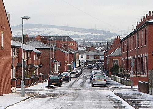
Hyde, Greater Manchester. The incident should be somewhere towards the hills in the background. Smabs Sputzer (CC BY 2.0) vial Flickr.Hyde, Greater Manchester. The incident location should be somewhere towards the hills in the background. Smabs Sputzer (CC BY 2.0) via Flickr.

Our first is Airprox Report No. 2015141. A Dornier 328 was above Hyde approaching Manchester Airport on the afternoon of 27th August 2015, at 2800 feet above sea level (about 1500 feet above local ground level) with a speed of 180 knots (207.141 mph). The drone was seen by the pilot, and was a royal blue trirotor, about 50cm in diameter.

As the report notes, this drone would certainly have been breaking the law by flying over the legal 400 feet, and the operator would almost certainly have been using an FPV camera. But let’s return to the report, at 50cm this is not a big machine. If it was a drone, its chances of carrying enough battery power to take it to 2800 feet while also both carrying and powering an FPV camera and transmitter could not be very high at all. Even at ground level these machines don’t have very long flight times, and climbing to that altitude is a power-hungry task. Remember that multirotors have propellers designed for efficiency in the thick air of ground level, and as they climb they have to work ever harder.

There is also the question of it being reported as a trirotor. This is not an unknown multirotor configuration, but such a machine is highly unusual in the UK. Unusual enough for anyone operating one to be noticed, we think.

12 o'clock to 1 o'clock on a reciprocal track. Petr Adam Dohnálek [CC0] (Wikimedia)/Andreas 06 [PD] (Wikimedia)12 o’clock to 1 o’clock on a reciprocal track. Petr Adam Dohnálek [CC0] (Wikimedia)/Andreas 06 [PD] (Wikimedia)
Moving on, we have Airprox Report No. 2015155, a Boeing 737 departingStansted Airport at 4000 feet and 250 knots (287.696mph) in the late afternoon of the 13th of September 2015. The aircraft reported as a drone had a fuselage 2m in length, the air crew could not say whether it was jet or propeller powered. It was reported as going from the 12 o’clock position to the 1 o’clock position in a reciprocal track.

Reading this report, we find it difficult to understand how it could responsibly be attributed to a multirotor by any of the media outlets. This describes an aircraft capable of making an extremely tight turn (refer to this page about clock positions in aviation to appreciate this if our diagram isn’t enough) over an airliner traveling at nearly 300mph at 4000 feet (Stansted is a lot closer to sea level than the terrain surrounding Manchester). We’re not fast jet specialists here at Hackaday, but wouldn’t that kind of turn be impressive performance even for a military fighter? Disregarding all the stuff from our discussion of the previous report about the difficulty of a battery powered multirotor achieving that altitude, even in their wildest dreams a multirotor owner can’t make their machine perform like that!

The UK Houses of Parliament. Mike Gimelfarb [Public domain], WikimediaThe UK Houses of Parliament. Mike Gimelfarb [Public domain], Wikimedia
Our credulity now stretched, we move on to Airprox Reprt No. 2015157, an Embraer E170 approachingLondon City Airport at 2000 feet and 160 knots (184.125 mph) around midday on the 13th of September 2015. The aircrew reported “a silver drone with a ‘balloon-like’ centre and 4 small rotors on each corner”, and air traffic control confirmed the pilot had reported the incident while over the Houses of Parliament.

A balloon-like drone would be an unusual machine, but while it may be out of the ordinary it is not an unknown configuration. The Festo machine we have just linked to for example was so unusual as to have received worldwide coverage when it was announced. But like the previous reports the problem we find with this report is the altitude. The power required to get a machine to 2000 feet and stay there without running out of juice and plummeting to earth would push the abilities of multirotor battery technology to the limit. If you notice in the Festo demonstration, it is all performed indoors, without weather or significant altitude.

The real kicker here though is the location. Over the UK Houses of Parliament. If you wanted to run an experiment in how quickly you could get a free ride in a British police car, we’d suggest you try flying an unexpected multirotor in this airspace. It is some of the most tightly-monitored space in the country, full of twitchy security people fueled by The War Against Terror, and one of very few places in the UK where you’ll see police officers carrying guns. Couldn’t it just be that the pilot in fact saw an escaped novelty helium balloon, not entirely impossible over one of the most populated parts of the country?

Datchet from the air. se71 (CC BY-NC-SA 2.0) via Flickr.Datchet from the air. se71 (CC BY-NC-SA 2.0) via Flickr.

Next on the list is Airprox Report No. 2015162, aBoeing 777 over Datchet climbing out of London Heathrow at 2000 feet and with a speed not reported. We’d expect the aircraft to be under acceleration at this point, so it is likely that it would be moving at a similar speed to the earlier Stansted incident.

The 777 pilot described a quadcopter, about 12 to 18 inches in diameter, and with motors the size of Coke cans on each corner. The encounter was fleeting, only a very few seconds as the 777 was in a steep climb.

There are plenty of off-the-shelf quadcopters that are about 12 to 18 inches in diameter. Container loads of them arrive from China every day, and they would have delighted a million children when unwrapped on Christmas morning. But a couple of things bother us about this report. First there is the weight and power issue we’ve mentioned when discussing the previous reports. A machine that size would not be capable in our view of reaching 2000 feet under control with an FPV camera and staying there for any appreciable time and then returning under its own power. Batteries simply are not available which are light enough to both hold that amount of power and to enable them to do this. Our second concern though comes from those motors. There are large motors for multirotors, it is true. They have higher power output and correspondingly larger electrical power demands, and you might see them on much larger machines driving larger rotors. But would it make sense to fit them to such a small airframe? We just can’t see it. Our friendly expert’s comment on this report was that it sounded as though someone who had seen a picture of a multirotor but had never handled one was trying to describe what they thought one was.

Our next incident is Airprox Report No. 2015172, an Airbus 319 over Poyle on final approach to London Heathrow at 500 feet and 140 knots (161.110 mph) on the morning of the 30th of September 2015. The pilot reported a small drone-like helicopter hovering close to the centre line. He estimated that it passed within 20 to 30 feet of his aircraft.

Unlike the previous reports, this one does not stretch the possibilities of what a multirotor or model helicopter could achieve. A toy drone or helicopter might struggle, but there are enough more capable machines available. It is not at an altitude difficult to reach with a battery-powered aircraft, nor is it beyond the possibility of controlling such an aircraft from the ground. It also finds the Airbus at its point of most vulnerability, when as an aircraft approaching the runway it lacks both the airspeed and airspace to evade another craft or to recover itself in the event of an incident.

There is however one anomaly about this incident which we feel bears further investigation. A multirotor is a small and lightweight machine, and if it were to pass within 20 feet of an airliner at low altitude traveling at 160mph it is likely that it would experience significant turbulence. In simple terms, it would be knocked out of control by the wash of the passing high speed airliner, and there is a significant likelihood that it would not have been able to remain in the air. It is certain that an investigation would have immediately begun to find any wreckage of a crashed drone, yet none was found.

Gatwick airport from the air. Phillip Capper (CC BY 2.0) via FlickrGatwick airport from the air. Phillip Capper (CC BY 2.0) viaFlickr

Our final case is Airprox Report No. 2015212, AnAirbus A321 in the final stages of approach to Gatwick Airport in the early afternoon of the 28th of November 2015. The co-pilot reported seeing a stationary drone hovering at about 100 feet over the touchdown zone. The airliner passed underneath it and the co-pilot lost sight of the drone when he was at about 20 feet above ground level.

As with the previous report, this does not push the boundaries of multirotor flight. All but the most ineffectual drones should be capable of hovering at 100 feet above ground level, indeed since it is below the UK 400 foot altitude limit they could do so perfectly legally away from somewhere like Gatwick.

There is however a troubling side to the story that we would like to see an explanation for. Unlike all the other reports, this incident took place within the confines of an active and busy international airport. Airports are crawling with people doing a multitude of jobs, and yet nobody else saw the drone. The incident happened at 13:45 and the police were on the scene at 13:52, an astoundingly quick response for UK police, yet there was no drone. If you take a look at the Gatwick touchdown zone on Google Maps, you will see it is hardly close to the perimeter of the airport, to make a successful escape in that time the drone would have had to fly rather quickly, have an excessive amount of battery power, and somehow be invisible to everyone in the area surrounding the airport. We come back to our theoretical experiment in how quickly a drone pilot could get a free ride in a British police car, we strongly suspect the reality would be that any real drone pilot doing so at Gatwick would find themselves eating porridge in a very short time indeed. If this turns out not to be the case, shouldn’t questions be being raised about the airport’s security?

We Need Better Reports

It is very important to stress that flying a multirotor or any other kind of aircraft in proximity to a commercial airliner is a crime. It’s a particularly dangerous crime, and one which can have disastrous consequences in the event of a collision. We’d go further, and suggest that if anyone is found to have been doing it they should be locked up. Throw away the key, no collecting $200 or passing Go, all the clichés. It’s a crime, and any perpetrators should face all the consequences with maximum prejudice.

We are however concerned by the tone of all the reports listed above, both as they appear in the media and as they are reported in the official incident documentation. It is reported as indisputable fact that they are all multirotors being flown illegally, yet the only evidence presented are somewhat dubious eyewitness reports, either of extremely fleeting views of the craft in question or of craft that very obviously can not be electric hobby multirotors. At no point has anyone produced a real multirotor as evidence, in fact the only incident that featured a collision was found to be with a plastic bag. We feel that reporting these incidents in this way is irresponsible, and not consistent with the high standards we would expect from an aeronautical investigative body.

Read more…

2.2 km: Aerial Hover Board


Many were skeptical after the first video, including me.  Yet  my skepticism lost some ground when I looked further into the capabilities of Jetcatusa micro turbines.  A few weeks ago after that first flight, he announced an upcoming major public demo later in April, when interviewed by a French magazine ... 


Well, he delivered.

2.2 km. 

This is huge, imho.

Earlier video and related thread here.

Read more…

-w3f9KufsxAHld81lWmyItNX56H_1kKSTiN3KrbAlaQhN3eV6k9cdu0WoyOJTinnrUURQZmO4rNzrIteGM-mWNYOF8ceRHXOR-Z1ZrM7J2-wAp9Tgi15b0B6sat6cOXRo3h37s5z6T4pC8n8slASHZR58N8YHz7Kg9prmycvd98cEd-o9iHTAIktBXTE6F-NcAEL9r6KmxkHMNkiRBsxgxd5feAoIc_ww4MGtzIuc2KEH0M8o1EPunGvW-C__JprvfN-xFmnx7Bx_01VeIt2kl3fzA9Dv-ezeGmlZkAiuVXmwR7h5QB8PepkMH5yNyVaf-lAiUpofgTzOBHgA4jK96WiehCak86zyrImhXEXJDhL2rJfkBEvouGassTYA7zCvBR3v-3QHTHBUCynd__msxVLdMgmwNToc9DVyaVYnpDusaxMbYRS3h-voyqCe3yOcVcizwZi1BENWXF5P-zm-4384dtELjVUmzhqM3GMr7HIc6mDjZWAxlPmsKKOqGy-Lik30SP5tH8crKLTJpFIh9f2QYymPLLBzb3085o7oVn_UuVr5NF4QYjrPRJWqHsg86c=w1214-h678-no?width=500

Xrotors is developing a 3D printable folding drone. If you missed my first post please check from following link:

http://diydrones.com/profiles/blogs/xrotors-280-size-with-folding-a...

or you can visit www.xrotors.net for more info. 

These days I have been testing gimbal version of the drone. 

Below images are renderings of the gimbal.

UToSCqwmjm80lb0hkI_t3xnZk7NkRVH9R6te0xnSejQRyo3exUOfOvgkslQB8jMjWlt1lN8qkgBoPyq3IOXBc6ubJx2T1tFNNS8HE3tLSEx7g_Y2lDhR3EkOEf0wt8x-4kcLtUsyz029vGkJ1z7SRX8zD0bTVw15Jcy3uPVtx9bFqBEjzeW7_R-j7ONCdbj1IyvS7SUn3j2-IDijNd9cSD5YvuueAkoH-N4gyhrmM0TGN0o5sQ-AuTkNJ7FH11l8BRh-Quf_3GfNuHIOsPmF4xjd9YHbM2TEhqt7GWDZQxieLbuBAUk8UgLLjpYgEFqXFrj-1N7BvoNkOhJIZ8To0hO-y8v3cuuWaiv0Z3ZFse64-PUmuWs3u0XU0NAoTnQQCn2yfrTLIIGSE6I6JIGSnf6u-dHY2mSghhPtpve3YFbJppAe6v7n4ebYK6hLdq5yjah4JmAdAt-dNPeZ0IQpYnwHB8-k_55DQeatggol0QS6vsx25N0bx5K3gC-pulaTFebs82BIBUmIl09zgWLadt9PyPmnkc5agwlCXqF4fS0pGiG9xqzc6auGGLphr-q5o2M=w1214-h678-no?width=500

Mantis280 now has 2 axis gimbal for RUNCAM2 hd camera. 

It is may be one of the smallest gimbal camera for RUNCAM2. 

Check the video below. 

It still needs some tuning and adjustments but for the size of the drone, I think it works pretty good. 

Overall weight including the gimbal and battery, weight is near 500g total. 

More updates will come. 

If you have any questions, leave a message. 

Thank you all,

Xrotors.net

Read more…

3689690482?profile=originalAt April 28th, our chinese team have the first Dronecode conference in Beijing. We're glad to Chris Anderson join in this. I'm writing this blog to remember that day.

This story is from April 12, Anderson asked me organize a developer meetup while he arrived in beijing.

3689690557?profile=originalI think maybe it's a great opportunity to expand the influence of Dronecode in china this time. You know that although Chris is a good friend with chinese people, but he's not always in china anyway. ¯\_(ツ)_/¯

So, I confirmed with Chris that organize a full meeting.

It just two weeks to prepare. I have lots work to do, find speakers, design event pages, find a place, and find medias. I finally did it at April 28th. Actually, I can't belive it until now.

Here is some photos:

3689690527?profile=originalThis event happened in Beihang University, here is in Prof Quan's lab, they have a great talking.

3689690564?profile=original3689690343?profile=originalChris Anderson and Prof Quan's Student

3689690539?profile=originalLunch, Chris with JD.com uav tech team

3689690615?profile=originalProf Quan's speech, Thanks him provide the space for us.

Looks like I can't add more photos in this post, It's very late in china, I'll update later.

Read more…

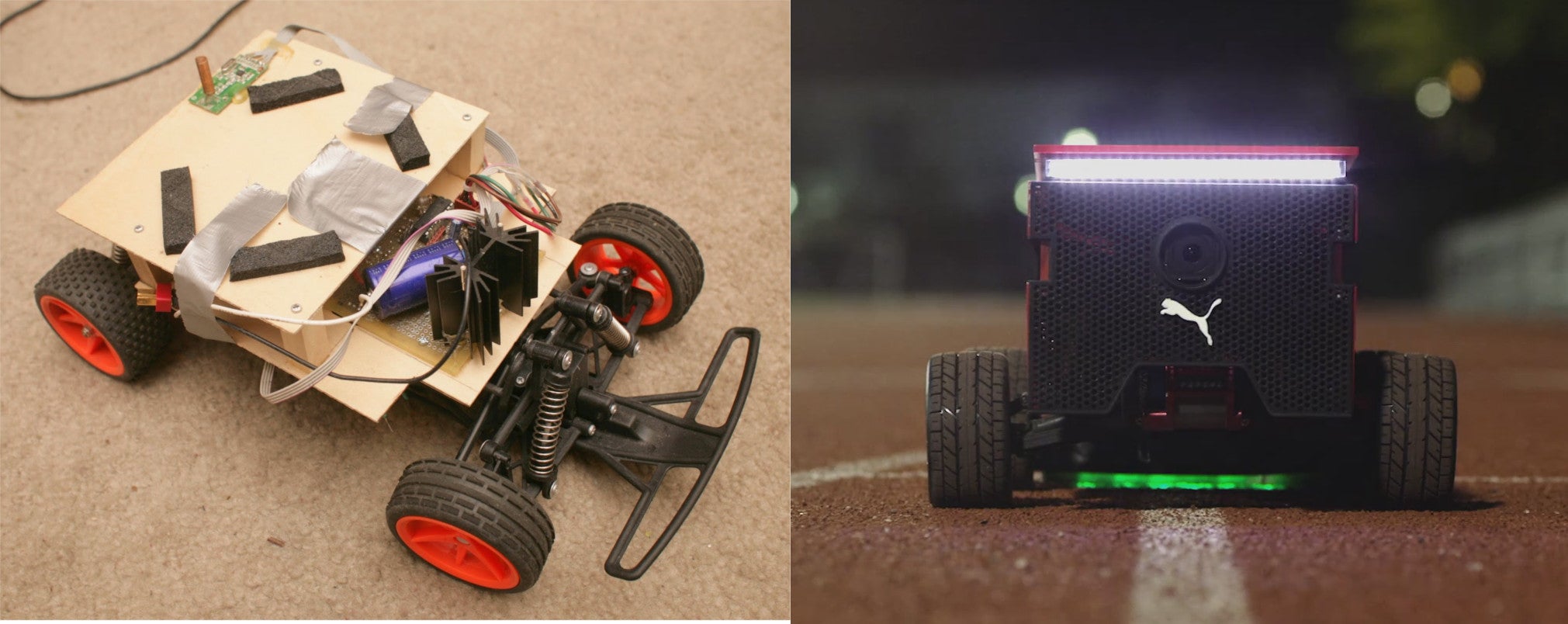
Evolution of the RC car exercise coach

a8949563-165-cars.jpg?width=640

It's been a long journey from the G-Buggy

3689690234?profile=original

to the failed balancer

3689690250?profile=original

to the brushless rover.

3689690268?profile=original

All in the name of the cheapest, most compact, longest range vehicle which could go at running speed on the most terrain.

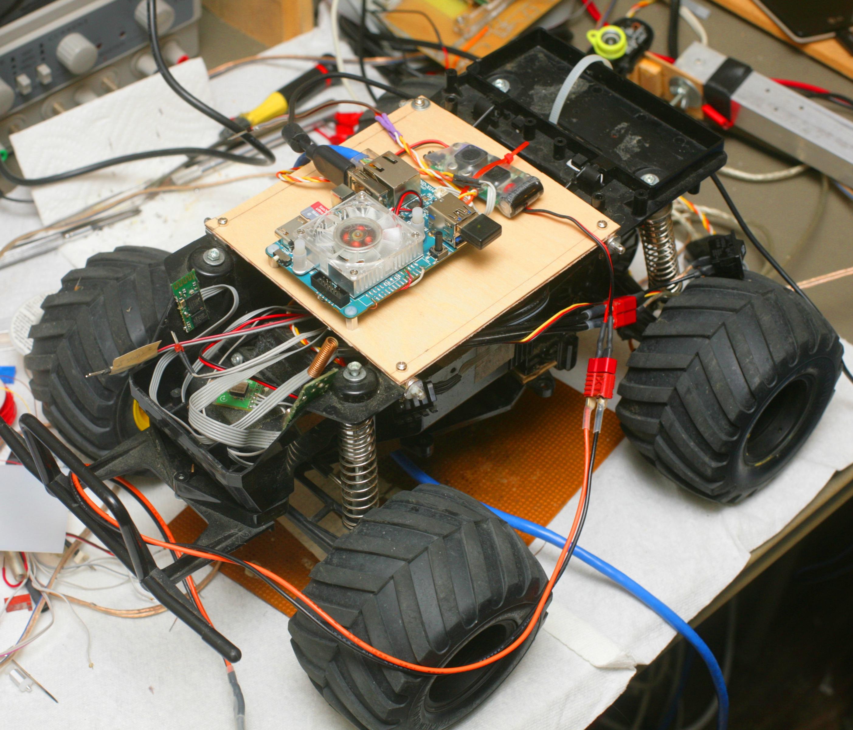
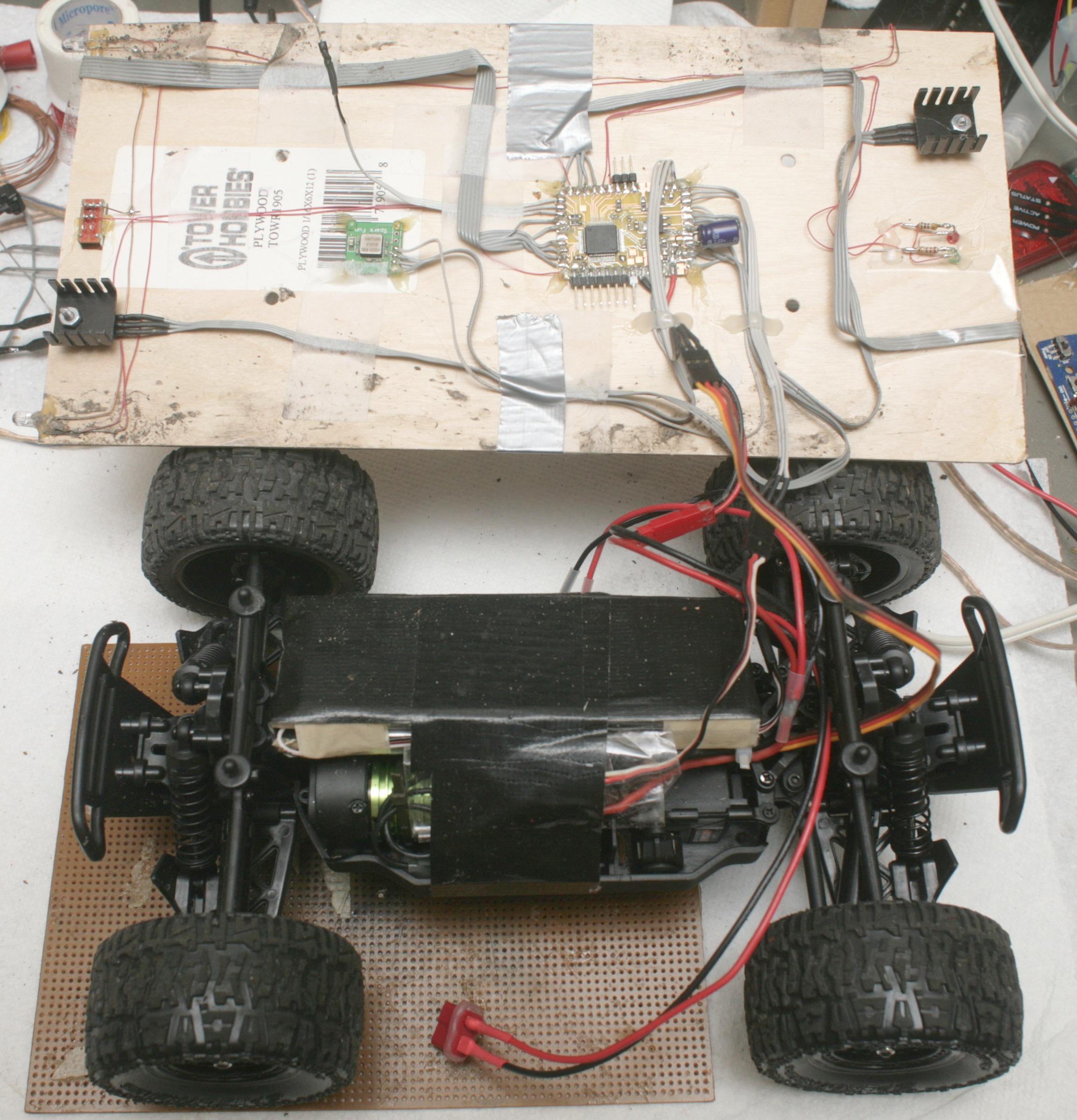
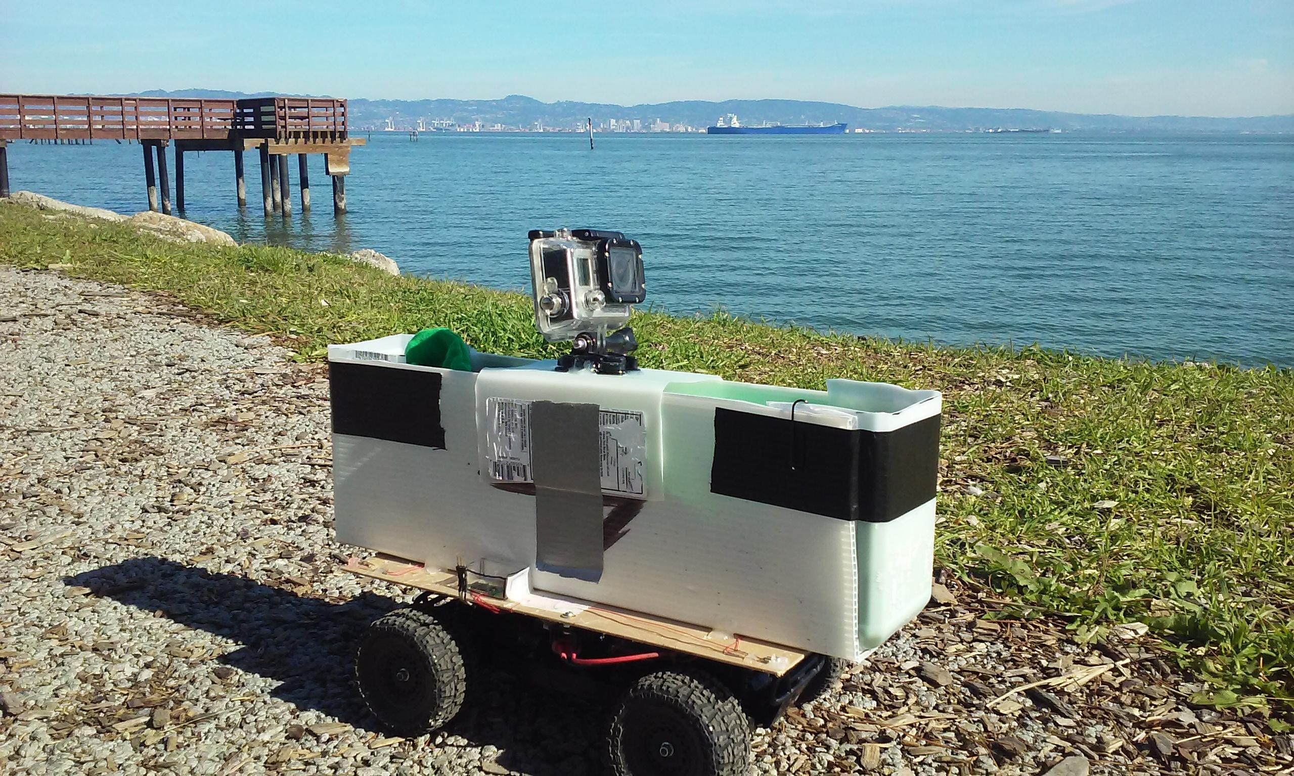
When money started flowing again in 2015, it was finally possible to build a useful platform: the Lunchbox

3689690098?profile=original

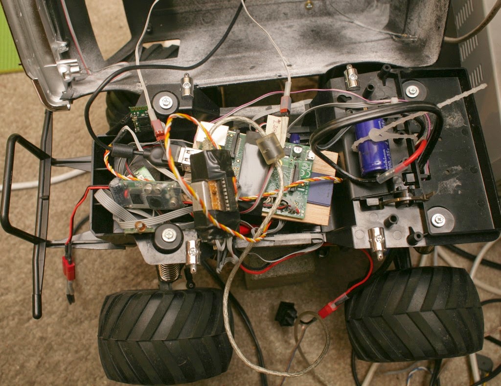
The lunchbox was ground up to support a 3S 5Ah battery & a brushless motor.  This extended it to 14 miles on a new battery.  The brushless motor allowed easy sensing of RPM by sensing a GPIO on the ESC.  SimonK firmware allowed an old copter ESC to be repurposed for going forwards & backwards in the ground vehicle.

Attention had always been on making an athlete exert a constant power by having the vehicle develop a constant motor power.  The problem is power into a motor doesn't equal power out of the motor, so every method to regulate the power of the motor by current sensing or constant voltage failed. 

There is a way to do it by regulating RPM based on the incline sensed by an IMU, but this would take quite a bit of experimenting to get the right amount of human effort for every incline.  Eventually, the best workout proved not to be a constant effort for all inclines, but random changes in effort manually programmed in based on feelings.  A simple phone interface for dialing in a constant RPM proved to be the best solution.

With the Lunchbox platform now capable of fitting a decent payload, attention turned to making it drive itself.  This would allow photographing the athlete from multiple angles outside the athlete's field of view.  This was a very difficult problem & put into perspective the last 12 years of hype around self driving cars which were always just around the corner.

A raspberry pi 1.0 did the processing.

truck11.jpg

There was the side firing camera for tracking the side of the path.

3689690295?profile=originalThe forward cam at low level.

3689690370?profile=original

Forward cam at high level.

3689690385?profile=original

There were many edge detection algorithms, chroma keying algorithms, variance sensing algorithms.  Then an Odroid was installed, which provided a massive increase in computing power.

a8362445-75-odroid09.jpg

But while getting machine vision farther than it ever went before, it wasn't robust enough for practical use.  There was a video of the peak of Odroid guided driving with some manual intervention.

Machine vision was deemed the best solution for a worker budget, not LIDAR, not sonar, not GPS.  The mane limitation was shadows.  It was easiest to semi autonomously control it.

a8531351-184-remote06.jpg?width=480

The next step was to build a 2nd vehicle for the day job, while the lunchbox would be used at home, 50 miles away.

New semi autonomous controls were built for 2 vehicles.  The lunchbox was modified for cargo.

a8707555-230-lunchbox01.jpg?width=480

a8539088-103-ruckus07.jpg?width=480An ECX Ruckus was converted into a 2nd semi autonomous vehicle.

a8677655-199-20160204_124656.jpg?width=480

The mane requirement for the Ruckus was to be narrow for navigating the city.  This had a range of 18 miles on a new battery.

Even without autopilot, this vehicle was controllable enough from peripheral vision to record mostly side firing video.

For the 1st time, video feedback was available to an athlete without the need for a 2nd person to drive the robot.  Unlike, quad copters, the ground robots could get close & navigate in the city.  The robots could carry clothing.  In exchange for reducing the range to 3 miles, the Lunchbox could carry water.

After 2 years,  the establishment finally discovered the promise of robotic exercise coaches.  Of course, their version needed official NASA & MIT employees.

http://www.fastcocreate.com/3059417/puma-created-a-robot-as-fast-as-usain-bolt-to-make-athletes-better

Their focus was strictly on the autonomous driving.  It uses a downward facing LED strip to follow a line.  It only works on a track with a white line.  They didn't seem to have discovered the ergonomic manual control, yet, nor did they aim a camera sideways for capturing profile videos.

Whether or not robotic pacing is an improvement over a mobile app depends on the athlete & whatever mobile app valuations Janet Yellen deems necessary to prevent a recession.  Some athletes may benefit from the feedback of a physical object.  Some may benefit from the feedback of a heartrate monitor.  The robot edges out a treadmill in giving you contact with real pavement.  It edges out a heartrate monitor in giving realtime feedback of your exact speed in relation to the desired speed.  Only the robot can carry cargo.  Being able to carry all your belongings has been a huge benefit with the robot.  The mane limitations are even with semi autonomous control, it's a pain to constantly have to trim the heading & it can't drive on trails.

A few months of nothing but robotic pacing got a fake test pilot a PR in the half marathon, by the widest margin of any PR.  Who knows if that would have happened without robotic pacing or if it was new shoes.

The mane problem is now the inability to drive on trails.  There is a vehicle which can get around on trails, but only if the $500 billion company which bought it out ever discovers it can be used for training athletes.

a8949583-5-dog.jpg?width=480

Read more…