Photos only...More about progress in build later.
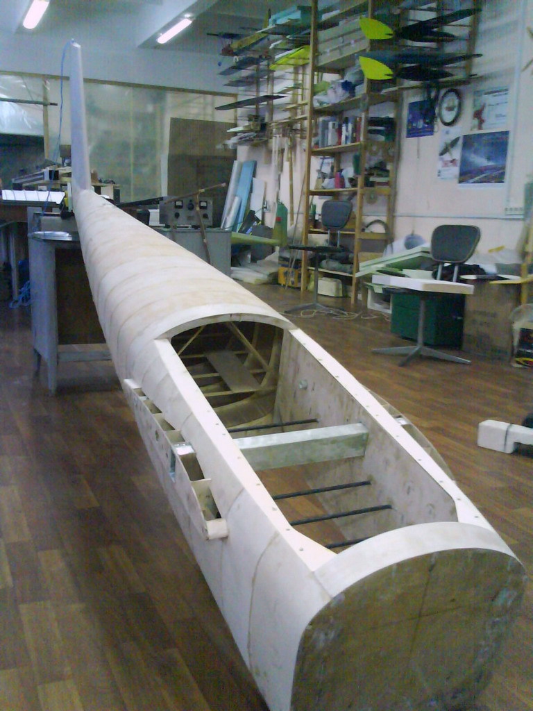
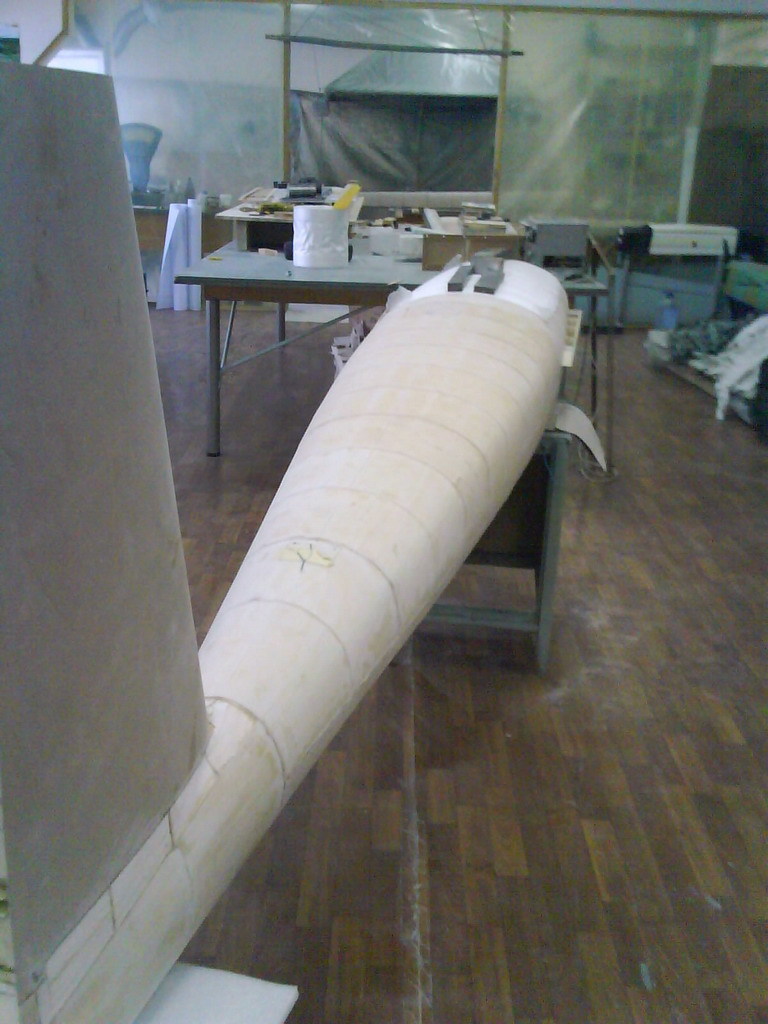
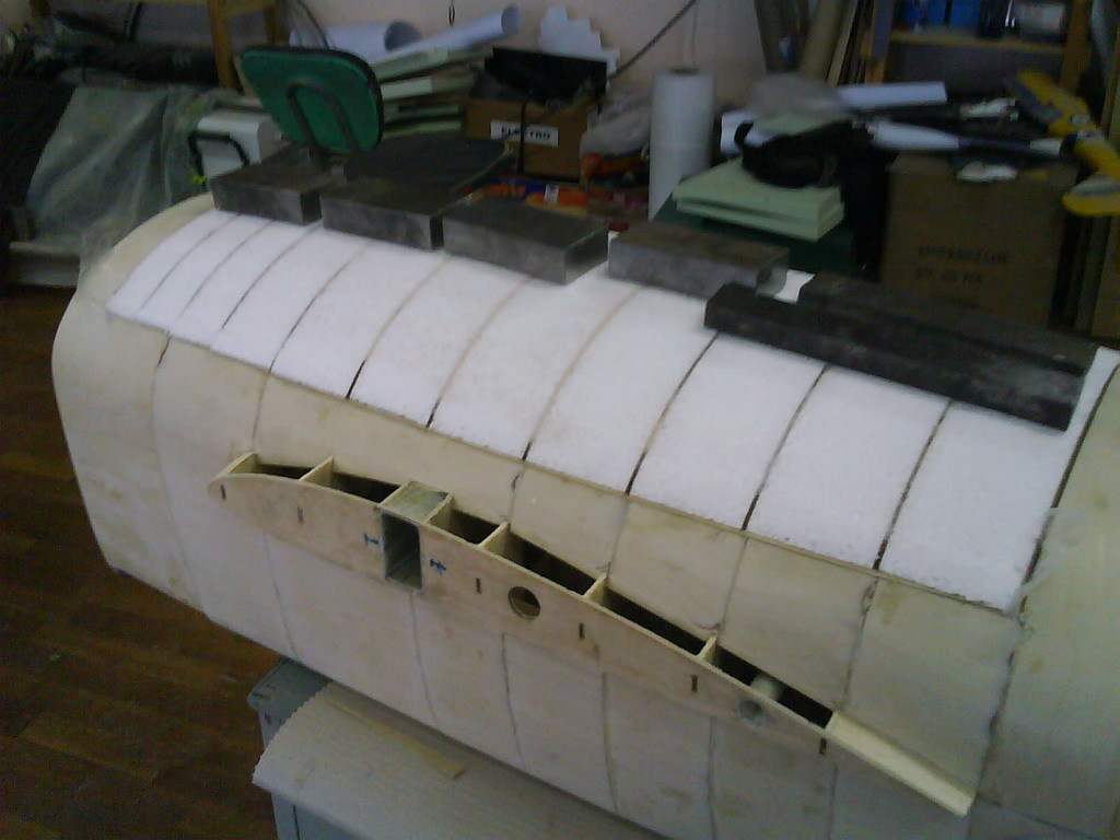
Photos only...More about progress in build later.
A federal appeals court is about to review a case with broad implications for abstract technology patents.
From BusinessInsider:
"Alice, based in Melbourne, Australia, and owned in part by National Australia Bank Ltd, holds a portfolio of patents, including four that cover a computerized system for exchanging financial obligations. The company argues that when an invention requires the use of a computer, even if it involves an abstract idea, "it's patentable if the computer plays a significant role in the invention.
Many technology and Internet companies worry that too many patents have been granted for simple ideas, hindering others from building innovations using those principles. They say this slows technology development, though other companies, including smaller developers and individuals, say inventors deserve legal protections for their innovations.
Google, Dell Inc and Facebook filed a friend-of-the-court brief criticizing the appeals panel's earlier decision.
They wrote that "bare-bones patents" like Alice's do not innovate enough on their own to deserve patent protection. "The real work comes later, when others undertake the innovative task of developing concrete applications," they wrote.
LinkedIn Corp, Twitter and others also submitted a friend-of-the-court brief, arguing against too much leniency in granting patents, though they did not pledge support for either side in the case.
International Business Machines Corp, on the other hand, filed a brief saying most software inventions qualify for patent protection. IBM, which has topped the list of U.S. patent recipients for 20 years, cautioned the court against creating a strict rule that would further limit protection, though it did not side with either party in the lawsuit."
more detailed & formal synopsis here hints at how out of their depth judges are when ruling on such technical issues
related hilarity over at Dangerous Prototypes
Someone sent me the link of this of the APM rebranding.

Roboticst/artist Natalie Jeremijenko spoke at Google's "Solve for X" conference on using technology to solve big world problems, in this case "drones for good". I'm not sure she came up with anything particularily new, but thought it was worth sharing here all the same.
From the video description:
Problem: What if war could be fought using technology that's more humane and could acheive political or tactical goals without killing civilians?
Solution: Targeted military force could do limited harm or potentially do good instead of the drone missle strikes that are used today.
Technology: Natalie proposes unmanned aerial vehicles (UAVs) could be used in new, creative ways.
(Hat tip to Sonal Chokshi for the link)
I was wondering how long it'd be before someone did this... The early stage involves minimal lift capability, but eventually 1000kg -- goods and people.
The MatterNet on FastCompany
Surprisingly "The team's prototype (pictured above) can already do this, but its autonomous capabilities have not yet been tested." -- I would think there are loads of hobby quads that are ahead of this one, then?
I've had dreams of doing this with rovers (of various sizes) of course the issue being the lack of roads...
Direct link: http://matternet.us/
Could we be seeing this in response to the drone revolution?
L. Meier about Open Hardware phenomenon:
"It's base technology like science, it just basis for many things "
A bit rough and chaotic, but very interesting presentation and opinions from a well-known developers of OpenHW UAV/UAS solutions.
First haltime dedicated to perspectives of 3D printing technology for OpenHW UAV production,
second contains several issues of the general development OpenHardware technology (much more interesting)
Note about Lorenz Meier person from http://www.inf.ethz.ch/personal/lomeier/
He is PhD student working on mobile localization 3D reconstruction on smartphones and micro air vehicles. He started her current project, PIXHAWK, in 2009 as a master student. It is about autonomously flying small helicopters. He participated in the sFly EU research project 2011-2012 and currently also working on realtime 3D reconstruction on mobile phones. He contribute her spare time to the PX4 autopilot platform.
He's maintain and contribute to a number of open source projects.
Source of video ZURICH.MINDS YT channel www.youtube.com/user/zurichminds posted Dec 28, 2012
The diagram in the beginning represent Hype_cycle of Technologies.
I have my Turnigy 9x Radio flashed with Open9X and it is configured to be able to select 6 different Flight Modes as instructed in this post
It was requested recently "Can you can display the selected Flight Mode of the APM on Open9x main screen?" e.g Manual, Stabilize etc.. I've been trying to understand RC programming recently and this looked like a good exercise to see if I had learnt anything.
What I understood was Flight Phases built into Open9x can be named, they can be activated by assigning them to a state of a real switch. The problem is that you cannot just check the 3 position switch to see if it's in position of ID0, ID1 or ID2 you have to cope with a modifier such as AIL or T-CUT. To solve this issue you can use internal 'custom switches' that activate based on logic rules. ie. if AIL and ID2 custom switch 6 is enabled, you can use this custom switch to enable the Flight Mode with the correct name.
The first thing I did was set-up six Custom Switches that corresponded to each combination of AIL and the 3 position switch. (i.e IDO, ID1, ID2)
e.g.
CS1 requires !AIL (not aileron) and ID0
CS2 requires !AIL and ID1 etc..
As you move the switches you should see in bold each combination as it is actuated.
Now move to the Flight Phases Menu. Here you need to assign a switch to each phase (I assumed the default FP0 was CS1, so nothing to assign)
for FP1 press menu and then assign CS2 to switch, and name it the Flight Mode that MP tells you are in. (In my case Circle)
Also make sure that the Trims option is set to 0000 (it read RETA by default) this means that the Flight Phase copies your standard trim values from FP0.
The screen shot below shows how i set my TX up
Notice that FBW is from CS7, this is since I amalgamated FBW-A and FBW-B (CS5 & CS4) under the same title since they are similar and there are only 5 flight phases. That means if either are selected CS7 is enabled. (maybe a mod to Open9X is required ;-) )
Once you have all your modes programmed, check against mission planner that what you are requesting on the TX is what mode the APM will switch too.
And that's it really, a simple way to program Open9x to help remember the modes you have programmed on the switches.
Here's some screen shots of the final outcome.
Hope this is helpful; :-)
For those interested in using their multicopters to carry heavy objects you might be interested in the test that I performed today with Assistant Professor Nagatani-san of Tohoku university in Japan and Izu-san of EnRoute (a company that specialises mostly in Radio Controlled vehicles here in Japan and China).
The goal for later this year is to carry a rover to the top of Mt Asama (a volcano that errupts from time to time) and drop it in mostly as a proof of concept that it can be done.
Today was our first attempt at dropping one of the university's semi-autonomous rovers (2.5kg) from an ArduCopter equipped Zion Pro hexacopter (4.0kg not including the rover).
During the first try the copter was under manual control (stabilize mode) and the servo to drop the rover was activated by the tx/rx's channel 8 switch. I was the pilot and although we were all fully expecting the copter to climb I was still surprised by the speed of the leap into the air and I couldn't keep the throttle low enough without cutting the engines completely. You can see the disasterous result 44 seconds in.
After lunch and fixing the hexa the 2nd (1:02) and 3rd tests (1:11) went much better with lower weights (300g and 1kg) and this time using Alt-Hold.
The final test (1:24) was back again with the rover but this time using alt-hold and you can see how much better the new 2.9.1 Alt-Hold is than a human pilot (or at least this human pilot!) with the copter only climbing about 10cm or so.
So the moral of the story is sometimes it's best to trust the autopilot.

From The Economist:
ALTHOUGH undeniably graceful, gliding has until now been suitable only for pleasure flights. But this is changing, as researchers exploit wind power to enhance the capabilities of unmanned aircraft, especially small drones. Soon, these gliders will be able to stay aloft for weeks. They will thus be able to act as communication relays, keep a persistent eye on the ground below and even track marine animals thousands of kilometres across the ocean.
One such glider, the hand-launched Tactical Long Endurance Unmanned Aerial System (TALEUAS) is being developed at the Unites States’ Naval Postgraduate School in Monterey, California. It needs an electric propeller to get airborne, but give it a few minutes to reach a reasonable altitude and TALEUAS can fly all day just by riding rising currents of warm air called thermals.
When TALEUAS encounters a thermal it senses the lift and spirals around to take advantage of it. Vultures and eagles use the same technique, and Kevin Jones, who is in charge of the project, says he has often found TALEUAS sharing the air with these raptors. On some occasions, indeed, the birds found that the thermals they were attempting to join it in were too weak for their weight, as the rone is more efficient than they are at gliding.
TALEUAS’s endurance is limited only by the power requirements of its electronics and payload, for at the moment these are battery powered. Dr Jones and his team are, however, covering the craft’s wings with solar cells that will generate power during the day, and are replacing its lithium-polymer battery with a lithium-ion one capable of storing enough energy to last the night. That done, TALEUAS will be able to stay aloft indefinitely.
TALEUAS does, however, depend on chance to locate useful thermals in the first place. Roke Manor Systems, a British firm, hopes to eliminate that element of chance by allowing drones actively to seek out rising air in places where the hunt is most likely to be propitious. As well as thermals, Mike Hook, the project’s leader, and his team are looking at orographic lift, produced by wind blowing over a ridge, and lee waves caused by wind striking mountains. Their software combines several approaches to the search for rising air. It analyses the local landscape for large flat areas that are likely to produce thermals, and for ridges that might generate orographic lift. It also employs cameras to spot cumulus clouds formed by rapidly rising hot air. Such software replicates the behaviour of a skilled sailplane pilot—or a vulture—in knowing where to find rising air and where avoid downdraughts.
Perhaps the most ambitious scheme for a robot glider, however, is the artificial albatross proposed by Philip Richardson of the Woods Hole Oceanographic Institution, in Massachusetts. Like its natural counterpart, this artificial bird harnesses wind shear—the difference in wind speed at different heights—in a technique called dynamic soaring.
The air is quite still near the surface of the sea even when it is blowing powerfully just a few metres above, so an albatross can rise up and face into the wind, gaining height like a kite in a breeze, then turn to glide down in any direction. By repeating this manoeuvre it can fly thousands of kilometres without flapping its wings, and by tacking it can travel anywhere, regardless of the wind direction, with an average speed six times that of the wind. Dr Richardson thinks he can replicate this with his robot bird. If he does, he will surely break all records for the time a heavier-than-air artefact has stayed airborne.
This is in continuation to my earlier blog post on Hardware In Loop Simulation For Co-operative Missions Using ArdupilotMega.
No hardware changes required except for soldering burg-strips on UART2 of APM2.5 board. UART2(Serial3) is used for all telemetry.
Communication modules used : Xbee Pro S1 in API (mode 1) on all Aircrafts(UART2) and Groundstation Laptop
Aircraft GCS communication : MAVlink v1.0 *Embedded in Xbee API header and Footer.
ie (API Header)[All MAVlink Packets](API Footer)
GCS used : MissionPlanner, Qgroundcontrol GCS coupled with MAVproxy.
MAVproxy is used to collect data from groundstation Xbee and Add/Strip API headers as and when required to send clean MAVlink packets to qGCS and MissionPlanner through UDP connection on separate ports.
Inter Aircraft communication : In Xbee API protocol (Not MAVlink)
No. of MAVs in the cooperative mission simulated : Upto 3 till now, can be easily extended to more.
Cooperative missions flight tested : Leader follower for 2 MAVs.
The sketchbook containing the firmware for the above cooperative mission is attached.
Flight Tested Leader-Follower Sketchbook. I'll write a small readme on how to set this system up and get it going soon, it's straight forward really.
Micro Siri Heli Part 2 - Click here to View
Home Page - Drone Cafe Video Podcast to check out Part 1
***If anyone has any knowledge in voice control, programming, Siri code, or anything useful to this project please help contribute. You can do that by giving me all the information that you think I would find useful in completing my goals for this project.***
Useful Links to this Project:
Siri Controlled Arduino using Ruby
Features:
Voice Commands:
Specifications:
The best way to learn how to change the PID and other settings in ArduPilot is with a simulator. I've made a quick video to show how to setup Ardupilot with Mission Planner and X-Plane. When you get this working you can change the PID and other setting real time and learn what they do. Then change plans in the simulator and setup ArduPilot for that plane. When your get ArduPilot fiying a 767, send me your .params file. ENJOY
Thanks to Pteryx for this great data set! In order to generate a geo-referenced NDVI / EVI / EVI2 Vegetation Index we need to fly the area of interest (AOI) with a visible (RGB) and full spectrum (RGB+NIR) camera. Once the RGB and RGB+NIR images are processed inside DroneMapper we have two orthomosaic results from which we can generate a pure NIR ortho. To do this, we use GDAL and the following command:
/usr/local/bin/gdal_calc.py -A VIS.tif -B NIRVIS.tif --outfile=nir.tif --calc="(A - B)"
Now that we have created our pure NIR orthomosaic we can use this to generate NDVI or other calculations using OTB in an automated fashion.
/usr/local/bin/otbcli_BandMath -il NIR.tif VIS.tif -out ndvi.tif -exp "ndvi(im2b1, im1b1)"
In order to process the orthomosaic tif files, they need to be the exact same size and pixel resolution. OTB also has many other useful commands for remote sensing work. The original flight and area of interest is 1.0 km sq @ 10 cm GSD.
Thanks -- JP @ DroneMapper
Through my K1ckstarter for Kickstarter app on Google Play I ran into project Volare.
The goal of Volare is to build an autonomous plane to be able to complete 200 mile(100miles each way) round-trip journey. We plan to build it big and strong enough to be able to carry a 5lb package and be able to drop it at the destination on its round-trip journey.
I backed the project and hope others will follow!
Why I Quit my Job as Editor of Wired Magazine Chapter 1 of 5
The Opportunity to Make Military Drone Technology Available at Toy Prices - Chapter 2 of 5
The Open Source Web Innovation Model Applied to Manufacturing - Chapter 3 of 5
What We Learned from Creating DIY Drones and 3D Robotics - Chapter 4 of 5
The Bottom-Up Approach for Creating Personal Drones - Chapter 5 of 5
USAV is the Unmanned Social Arial Vehicle - A drone with an android based auto pilot system that communicates through Google talk and Twitter. Due to the weather and the fact that an H-frame is being built for the vehicle, no flying is possible here. But I'm making good use of the wait :)
So snow is still falling here in the north and it's not really flying weather.
So I decided to make good of the waiting and create a telemetry unit for the USAV.
I guess telemetry is what Tabasco sauce is for omelets. So of course the USAV should have this kind of thing as well. Since the USAV uses the internet for communication, getting telemetry from the vehicle is a bit tricky.
Normally, the XMPP protocol is used to talk to the craft and get info back, but this isn't really suitable for near to realtime telemetry. In stead i decided to use standard http, but getting data from the onboard cell phone is not easy since the phone as such has no public static IP address when using various cell towers to communicate.
So I created a middleware solution, where the USAV broadcasts it's telemetry to a webservice, and where clients can then get the telemetry from using another webservice. The middleware component has to have a static IP, but offers some nice features in return.
The middleware dosen't just broadcast the telemety to anyone who's interested - it also stores each telemetry packet in a database for later analysis. This way, a telemetry client is not limited to only getting the current telemetry, but also fetch older data either as a single snapshot or a series for playback of events.
The system looks somewhat like this
In the video below you'll see a short demonstration using a very primitive telemetry client - what you see is;
1. The USAV becomes online on the Google talk network
2. The telemetry client is started
3. Telemetry broadcasting is started on the USAV
4. Telemetry is received
5. GPS lock is achieved
6. The craft is turned 360 degrees
The telemetry unit onboard the craft is very loosely coupled, meaning that any data can be transmitted as telemetry data, using a single line of code for each and does not have to be initialized from the beginning.
The rate of updates from the craft is configurable and currently set to once every second.
Instead of using this ugly command line based client (seen in the video), one could build a nice app, web or native gui to display the data in a nice way.
I really do hope I get to fly with this thing soon, so I can post some flight videos with the whole setup running.
Until then - all the best.
Jesper
 Thanks to a friendly influenza virus, I was down a couple of days, but now, work continues. Shown in the picture is the (yet incomplete) overview page which is the first active page after switching the system on. Obviously, there are still a few empty fields in which I was planning to put some data from the FrSky telemetry but I am interested in feedback! What do YOU think about the current "overview" layout? What data do you think are important to have at a glance?
Also in the picture is an explanation of the current development of the status bar. You have probably seen it already in the videos and were wondering what all those little indicators mean :).
Hi guys,
Phillip Kocmoud and I are proud to announce the third generation open source, MatrixPilot based flight controller – AUAV3. We will also be releasing concurrently an external power supply / current and voltage sensor board - ACSP1. The initial batch for development and testing will be ready in a week or two. We expect to be shipping these out on or before March 1st from both the US and European locations.
Some of the AUAV3 features:
* MCU – dsPIC33EP512MU810
* Onboard 32Mb Flash AT45DB321
* Onboard IMU – MPU6000
* Onboard compass – HMC5883
* Onboard absolute pressure sensor – BMP180
* Onboard CAN – MAX3051
* Two opto-isolated UARTs – for OSD and Telemetry
* One non-isolated UART
* One I2C and one SPI user interfaces
* 8xRC inputs, 8 servo outputs
* RSSI input
* USB
* 4 x Analog inputs
* 3 x Digital I/Os
* Universal GPS 4pin 2.54 connector
* ICSP 5pin connector
* 4 x LEDs red, blue, green and yellow
Onboard Power supply
* Main power – external 5V
* Onboard 3.3V 1A LDO regulator
* Optional BackUp power – 1xLi-Po or 4xNiMH or other 5V
* ESC powering capability
* Preferable power supply – ACSP1 ( Current/Voltage sensor board + 5V3A DC-DC Buck )
Dimensions and additional extras
* Dimensions – 45 x 35mm
* Two types of connectors – 2 x 3row x 14pin 2.54mm right angled or separate straight color coded connectors
* USB port for future use – programming, etc.
* CAN interface with driver MAX3051
* ESD protection on I2C, USB and SPI
* Reverse power polarity protection by power MOSFET
The documentation will be posted here and on www.arsovtech.com in a few days.
To have the AUAV3 complete solution you will require the ACSP1 – current voltage sensor + DC-DC 5V 3A Buck power supply or alternative one.
Some of the ACSP1 features:
* Dimensions – 30 x 26mm
* Onboard Current and Voltage sensor
* Onboard 90A alloy shunt
* Onboard 5V 3A 1MHz DC-DC Buck
* 90A current capability
* 2-4 Li-Po ( up to 20V )
* A heat shrinkable tube for board protection
* 22AWG x 4 + 2.54mm 1x4 connector for powering the AUAV3
Phil and I are pleased to announce the prices of AUAV3 and ACSP1, as follow:
* AUAV3 - $129.95
* ACSP1 - $24.95
* Preorders / Promotion - AUAV3+ACSP1 - $129.95 + free shipping
Promotion and preorders will start Feb 18, 2013 and run till March 31, 2013 at www.arsovtech.com (Wordwide) and www.auav.co (North America).
Orders over $50.00 will have free shipping.
Initial quantities are limited and will be fulfilled on a first come first serve basis.
Let the fun begin!
Regards from Nick Arsov and Phill Kocmoud
From Farmers Weekly in the UK. Rounding up livestock, detecting blackgrass weeds and more!
Engineers at Harper Adams University have teamed up with Chinese researchers to develop a fleet of ground-based robots and unmanned aerial vehicles that benefit farmers.
Jobs undertaken by robots could include locating and rounding up livestock in remote areas, precision application of fertiliser and the integration of controlled traffic farming.
Simon Blackmore, head of engineering at Harper Adams, said unmanned aerial vehicles or drones fitted with cameras could also be used by agronomists instead of crop walking.
The government-backed project has seen Harper Adams University awarded £36,000 to further collaboration between the two countries.
The partnership will link the research with the Engineering Departments of Harper Adams and China Agricultural University, focusing on developments in precision agriculture.
Both universities are researching precision farming technologies.
The project aims to develop the protocols and controls required to operate a mixed fleet of robot agricultural vehicles capable of a diverse range of farming tasks.
In a separate move, next month's Precision Farming Event at the East of England Showground will see the launch of a commercial company offering drone technology to farmers.A special exchange programme will see three members of staff and three PhD students from Harper Adams visit China during the next two years, while their counterparts visit the UK.Unmanned aerial vehicles are already being successfully used to detect blackgrass in arable crops, said Mark Jarman, of Ursula Agriculture.
The vehicles fly at about 1,000ft and can cover 150-250ha in a 30-minute flight - much faster than an crop-walking agronomist.