I just updated my Mission Planner software and it looks like it blanks out the google map window in Flight Data according to whether you are close to an airport. See the attached file for a picture of what I see in the Northern Virginia area, where
I was trying out flying arducopter for the first time and took it out into the lawn. I have limited experience flying with autopilots, gps, stabalize etc. I have more experience with normal RC helicopters/planes. I armed the board and started flying.
I am not sure where to post this question...feel free to berate me as i am new to the forum.
I am setting up a HKpilot system with the OSD and Telemetry that comes in the complete kit. I think I have most working on the bench for now. I noticed that m
I have never been able to flash new firmware. Now that 3.2 is out I really want the new position hold mode. When I go to install firmware in mission planner I select 3.2. It goes through detecting board version, then reading hex. The bar starts to fi
I've heard of this before but I don't remember the solution, when I try zoom greater than level 17 or 18 using Google satellite or hybrid the photos are blurry, whereas with Bing maps they are sharp at high zoom levels. Google satellite used to be sh
I just got a set of 3DR Radios, the older style where the air unit has 5 pins and the ground unit has the huge antenna. It came with 1.7 sik on both so I proceeded to update the SiK on them.
Has anyone experienced the copter turning and backing into a way point ? I also seem to have an issue with the same copter cutting the corners off on all way points on one end in my missions.
I'm with Matternet, a Silicon Valley-based startup revolutionizing access and transportation through the use of unmanned aerial vehicles. We're looking for a UAV engineer/technician that can basically build these things in his/her sleep. I
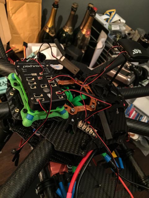
I built this Octocopter with Justice Bentz and Alan Carol of Pigeon Vision at my little drone workshop in Connecticut. It's a 1.3 meter Foxtech Kraken using a Pixhawk Flight controller to carry a Canon 5D on a 3 axis gimbal.
Looking for the most reliable parachute system for a 16kg 1300mm X8. Not that I don't trust my Pixhawk, but the payload value is very high and of course there's the safety factor with such a heavy unit. I've seen the Opal system that deploys from t
I am wondering if anyone here has experience flying a Pixhawk-based multicopter at higher latitudes in the Arctic. We are purchasing an octocopter with Pixhawk and 3DR uBlox GPS for use in surveying around Tuktoyaktuk, NWT next summer (69.4